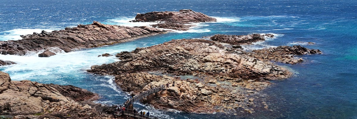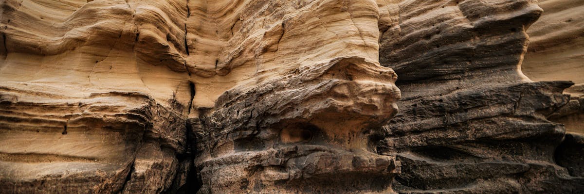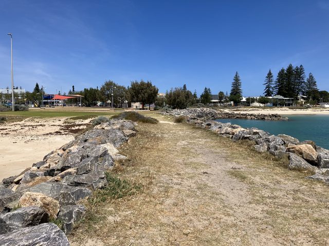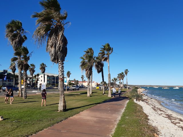
Aerial view of Western Australia coastline with red cliffs and turquoise water
Independent Western Australia travel guides

Western Australia Travel Guides

The real WA. No fluff, no filler.

Practical WA travel guides for road trips, reef, outback towns, beaches, national parks and places to stay - written for people planning real trips across Western Australia.

17destinations in this selection
5regions
3languages

12 surprising facts about Western Australia

  1. One state, almost a third of Australia

    Western Australia covers more than 2.5 million square kilometres, almost a third of the country. It is Australia’s largest state.

  2. A coral reef within swimming distance

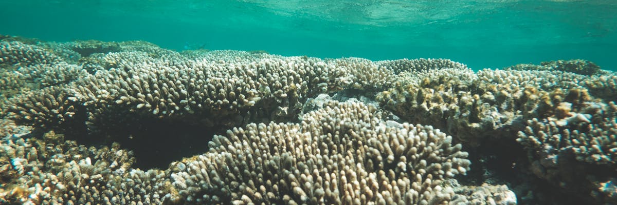
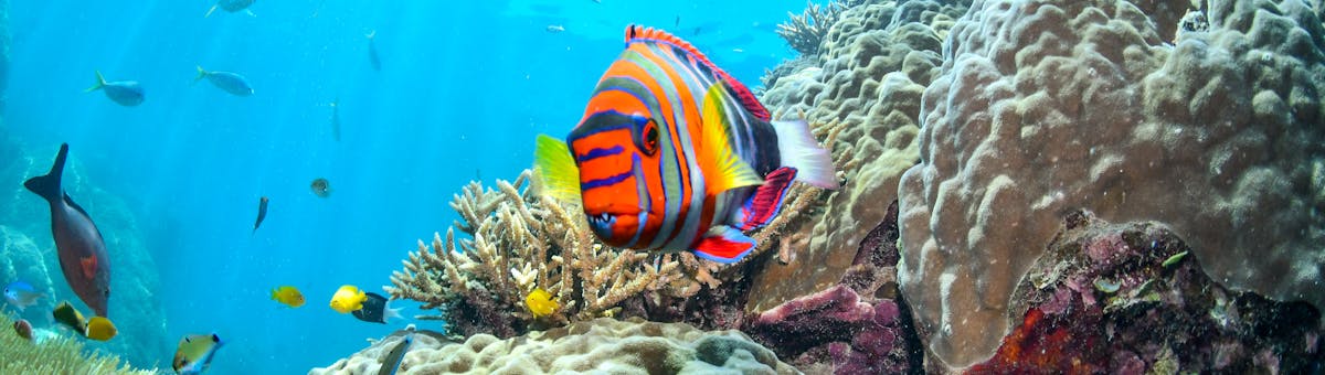
    At Ningaloo, parts of a World Heritage-listed coral reef lie close enough to the beach to explore by snorkelling directly from shore.

  3. Plants found nowhere else on Earth

    Western Australia has more than 12,000 plant species. Many grow naturally nowhere else, making its wildflower season particularly special.

  4. The world’s largest wild quokka population

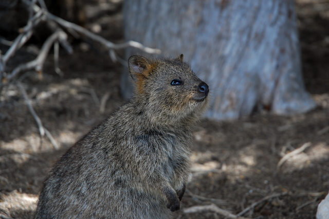
    Wadjemup / Rottnest Island is home to the world’s largest wild quokka population. Smaller populations also live in mainland south-western Australia.

  5. A lake that turns pink

    Hutt Lagoon’s pink colour comes from pigments produced by microscopic algae. Its appearance changes with the weather, season and light.

  6. Waterfalls that appear to flow sideways

    At the Horizontal Falls in the Kimberley, powerful tides squeeze seawater through narrow rock gaps, creating the appearance of waterfalls flowing sideways.

  7. Rock more than 2.5 billion years old

    Karijini’s gorges cut through rock more than 2.5 billion years old. The rock formed long before dinosaurs existed.

  8. Tiny organisms behind the Bungle Bungle stripes

    The Bungle Bungle Range’s dark stripes come from cyanobacteria growing on damp sandstone. The orange bands dry too quickly for them to grow.

  9. Dinosaur footprints beside the ocean

    The coastline around Broome preserves dinosaur footprints about 130 million years old. Some become visible when the tide retreats.

  10. Up to two million rock engravings

    Murujuga contains an estimated one to two million rock engravings. This Aboriginal cultural landscape remains under the custodianship of the Ngarda-Ngarli people.

  11. A Perth park bigger than Central Park

    Kings Park covers about 400 hectares, making it larger than New York’s Central Park. Around two-thirds is protected native bushland.

  12. Water for the Goldfields since 1903

    Opened in 1903, the Golden Pipeline carries water roughly 560 kilometres from Mundaring Weir in the Perth Hills to Kalgoorlie.

Plan by geography

Choose a Western Australia region

WA’s distances are easier to understand region by region. Select an area for its best time, realistic trip length, driving notes, destination guides and accommodation.

Explore WA by region

Start with a regional hub, then choose the destination that fits your route.

Perth and Surrounds

Use Perth as the base for city beaches, the Swan River, Fremantle, the Swan Valley, the Perth Hills and island day trips. This is WA’s easiest region for a short visit and the best connected by public transport.
Margaret River and the South West

Plan a southbound trip through Margaret River wine country, the Geographe coast, tall forests and the Great Southern. Short distances between many towns make this the most flexible multi-stop region from Perth.

Ningaloo Reef and the Coral Coast

Follow the Indian Ocean north through Kalbarri, Shark Bay, Coral Bay, Exmouth and Ningaloo Reef. This is a long coastal corridor, so choose fewer bases or allow enough time for the distances.

The Kimberley and North West

Broome is the coastal gateway to a vast region of tropical seasons, remote highways and 4WD routes. Plan around current road access, fuel range and realistic driving days rather than map distance alone.

Esperance and the Golden Outback

Combine Esperance’s south coast with Wheatbelt and Goldfields routes, or focus on one area to avoid rushed driving. The region spans huge distances from beaches to mining towns and remote outback tracks.

Photo credits

Preview images are cropped to fit the cards.

Rottnest Island / Wadjemup: Photo: Ena Music / RottnestQuokka (Wikimedia Commons), CC BY-SA 4.0. Resized and converted for the web; no crop.

Shark Bay / Denham: Photo: Calistemon / Denham, Western Australia, July 2020 03.jpg (Wikimedia Commons), CC BY-SA 4.0. Oriented, resized and compressed for the web; embedded metadata removed; no crop.

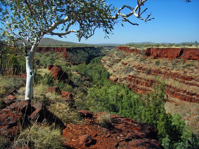
Karijini: Photo: Gypsy Denise / Karijini National Park, Pilbara Region, Western Australia, Dales Gorge 02.jpg (Wikimedia Commons), CC BY-SA 4.0. Oriented, resized and compressed for the web; embedded metadata removed; no crop.

Build a tailored WA shortlist

Already know your timing and travel style? Use the planner to narrow the existing destination and route guides.

Not sure where to go?

Plan my WA trip

Four quick questions and we'll point you to the right corner of the state.

When should you go?

Compare months, explore seven areas and find guides for your travel interests.

Explore seasonal advice in our destination guides. Enable JavaScript for the interactive month comparison.

Wildflowers · Karijini · Denmark / Pemberton · Ningaloo

About WA Travel Guides

🗓️

Plan Your Trip

Detailed guides by Australians who live and travel here.

💰

All Prices in AUD

Every price in Australian dollars with a live currency converter built in.

🌐

Three Languages

Read every guide in English, German or French. Switch any time.

Edited: